Montesquieu-Avantès
Informations
| Code INSEE | 09204 |
| Code Postal | 09200 |
| Gentilé | Montesquivais |


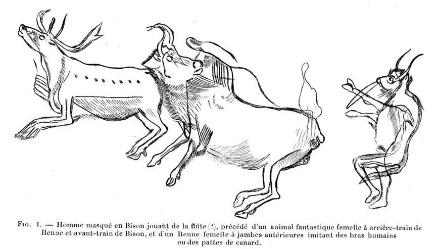

Caves of the Volp, Montesquieu-Avantès, Ariège, France. Composite image of famous Magdalenian art pieces from these three caves, from left to right and top to bottom : the Grasshopper (cave of Enlène) ; the clay bisons ("bisons d'argile, cave of Tuc d'Audoubert) ; the Sorcerer (Trois-Frères) ; tête de renne gravée (Tuc d'Audoubert) par Pueblo89 (CC BY-SA 3.0)


La voie romaine à Montesquieu-Avantès. par Olybrius (Public domain)

La campagne près de Lescure. par Olybrius (Public domain)


Montesquieu-Avantès (Ariège, Midi-Pyrénées, France) - An end-of-afternoon view of the pyrenean foothills in Ariège. (link to googlemaps' street camera -> View south from the road to Férrié, a hamlet located a good mile north of Montesquieu). The hamlet of Audoubert is on the right of the electric pole near the road and of the end of the portion of road seen here; we can see two of its outside buildings, possible two small barns. It stands at the foot af a rather pointed-top steep hill; behind that hill on the left (on its S-E side), also at its foot (unseen here), is the cave of Tuc d'Audoubert. Further away, we can see a few buildings from the village (Montesquieu) behind that same hill on its right (about level with its mid-slope right side). On the horizon, the highest peak is Mont Valier (alt. 2 838 m / 9,311 ft). par Olybrius (CC BY-SA 4.0)

.jpg)
.jpg)
.jpg)
- Addresse : 149 place de l'OrmeauLe Village
09200 Montesquieu-Avantès
- Email : montesquieumairie1@gmail.com
- Téléphone : 05 61 66 30 58
- Fax : 05 61 66 97 60
- Horaires :
- Le Mardi : 09:00:00 - 17:30:00
- Le Vendredi : 09:00:00 - 17:30:00